Log in
All resources
Create a design
33,112 Free Images of Lithographed Maps
gerard valck
maps made in the 17th century
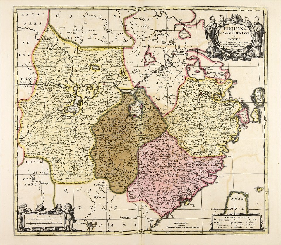
maps made in the 18th century
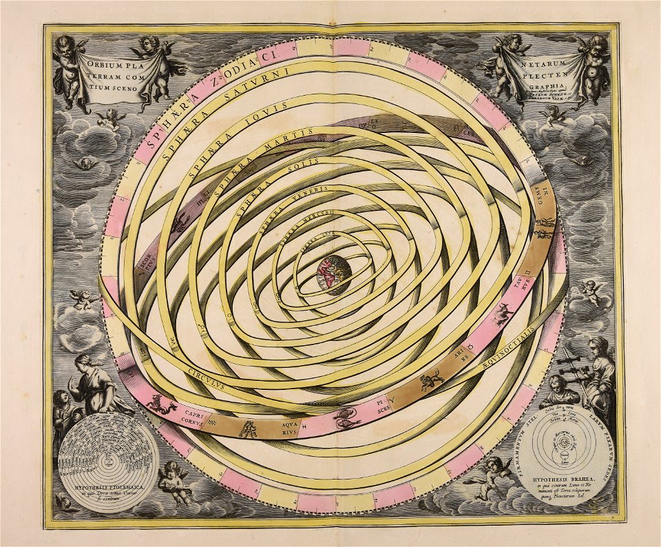
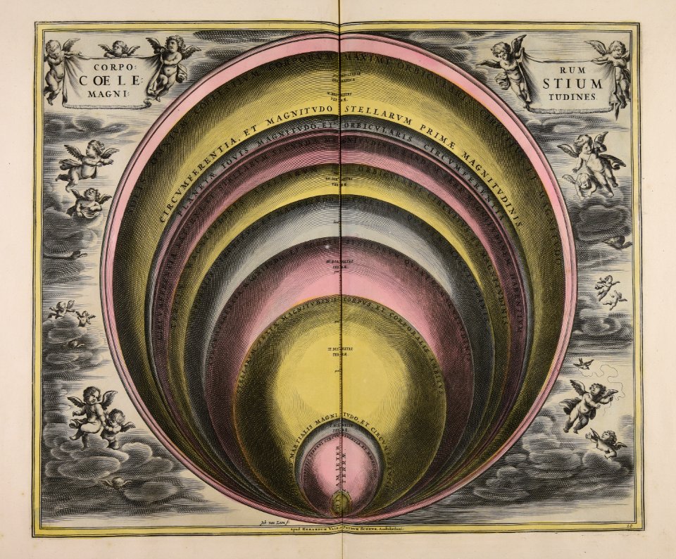
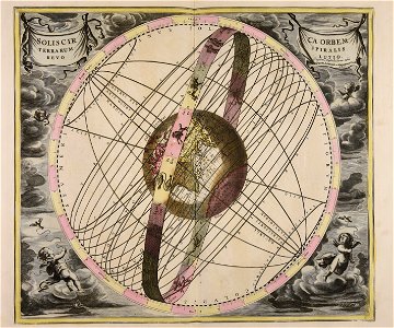
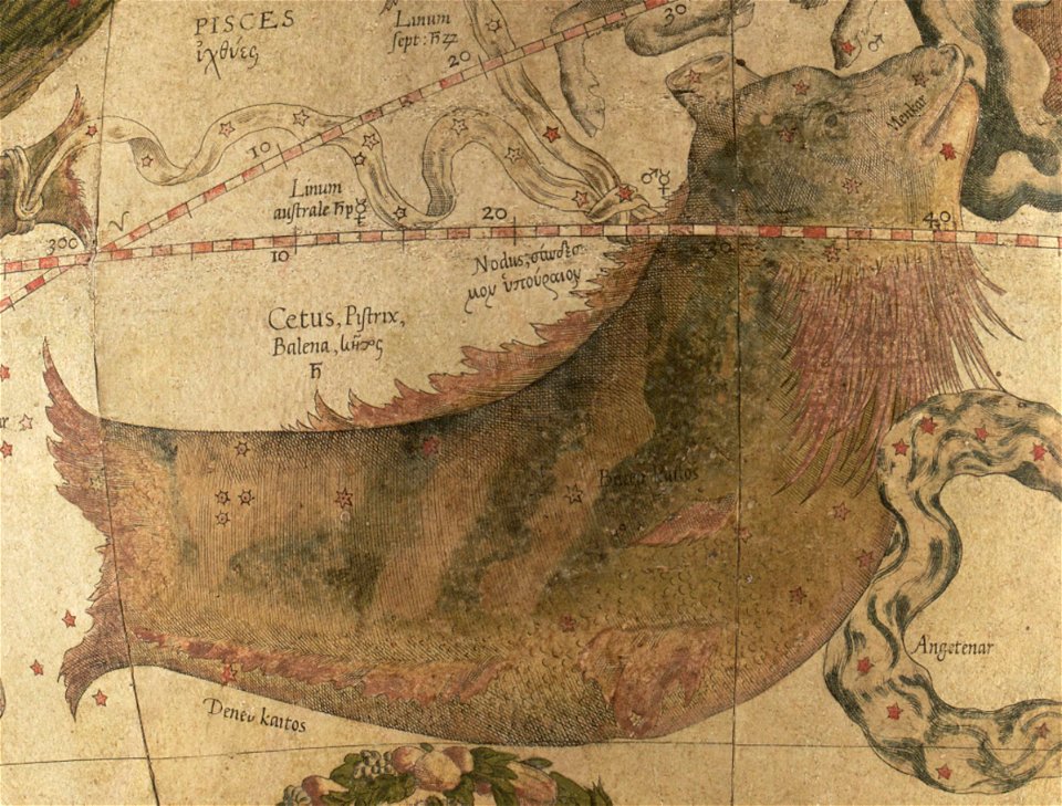
old celestial maps
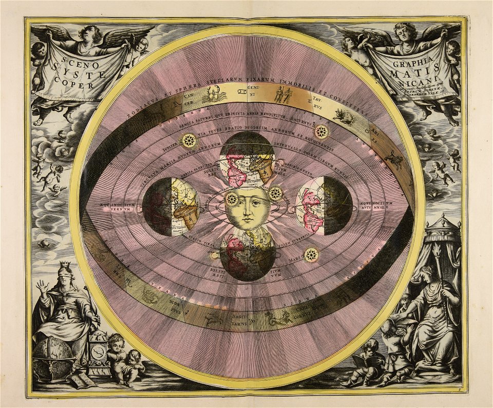
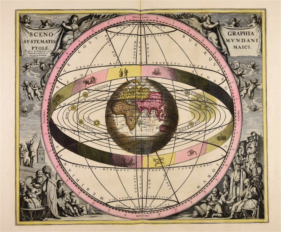
cellarius harmonia macrocosmica
atlantis magni tomus primus (biblioteca comunale di trento)
pieter schenk (i)
geographical illustrations by coronelli
maps by pieter schenk (i)
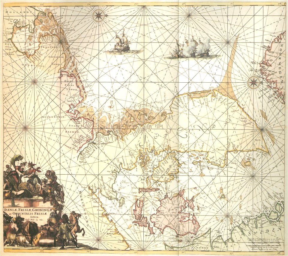
charts and maps of the royal museums greenwich
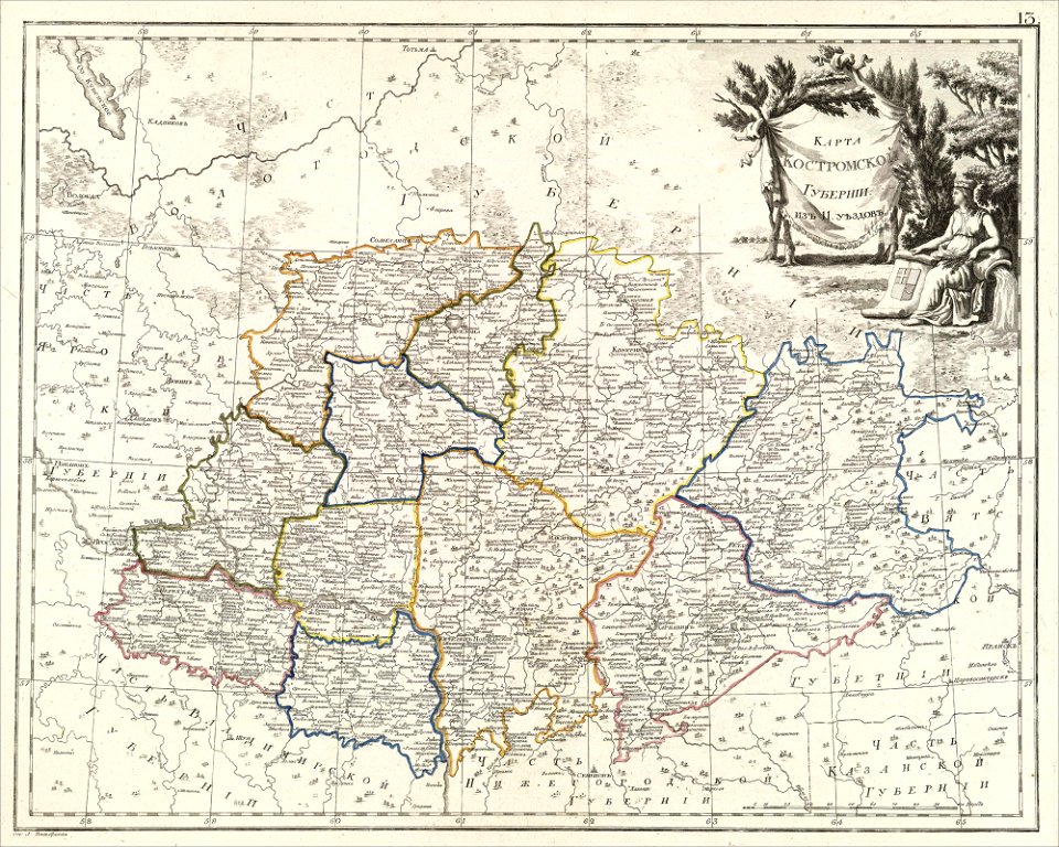
atlas of the russian empire (1800)
maps of kostroma governorate
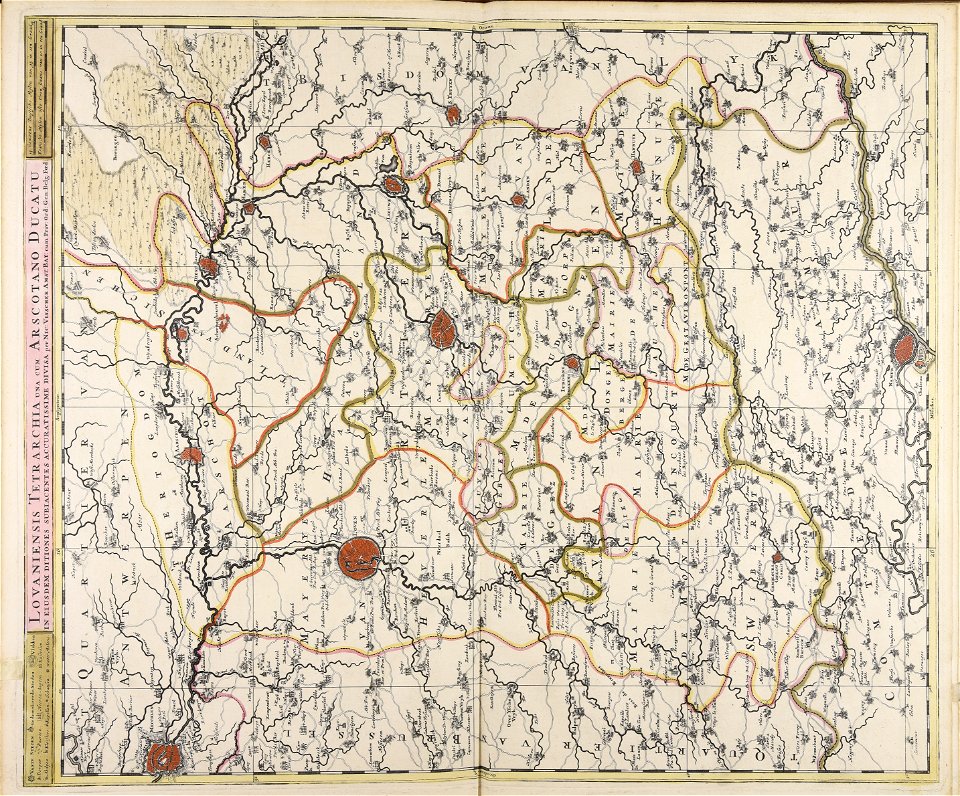
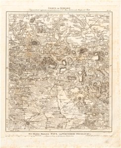
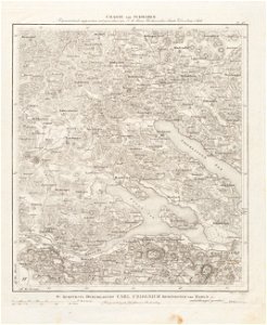
1751 maps of rhineland-palatinate
neuwied in the 18th century
maps of the mexican drug war
drug cartels of mexico
nicolaes van geelkercken
frederick de wit
charts and maps of the royal museums greenwich
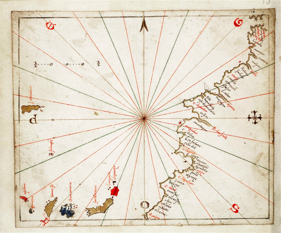
joan martines
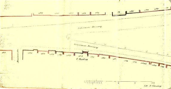
old maps of bremen (state)
bremen in the 1870s
antiparos
paros
maps by gerardus mercator
orion in art
bibliothèque municipale de reims
rès. g 153
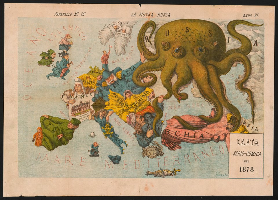
19th-century satirical maps
europe in the 1870s
geographical illustrations by coronelli
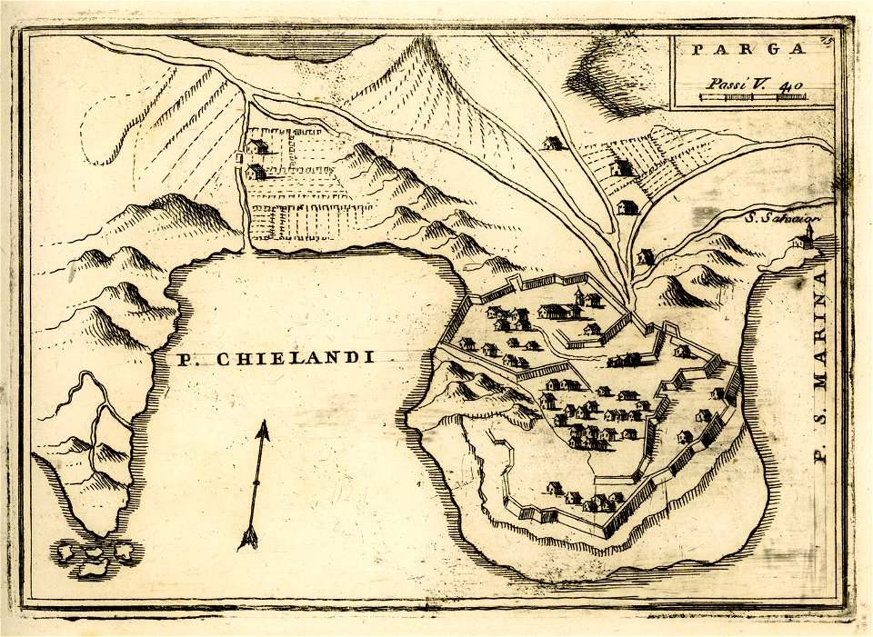
engravings of parga
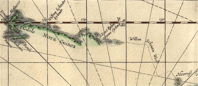
willem schouten
jacob le maire
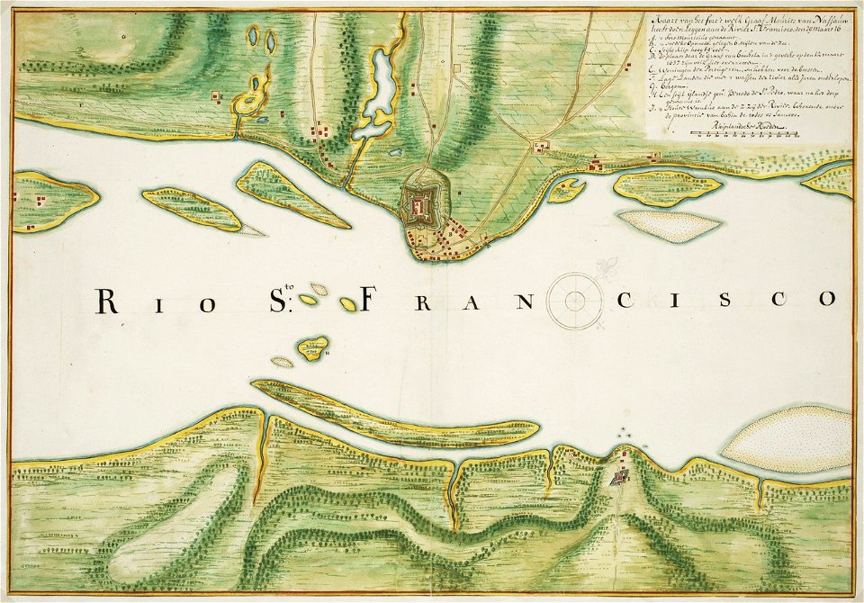
old maps of dutch brazil
johannes vingboons
maps of stockholm county
tyresö slott
old maps of the canton of zürich
cartography of switzerland
liber insularum archipelagi (royal museums greenwich)
maps of kea (cyclades)
drawings by samuel de champlain
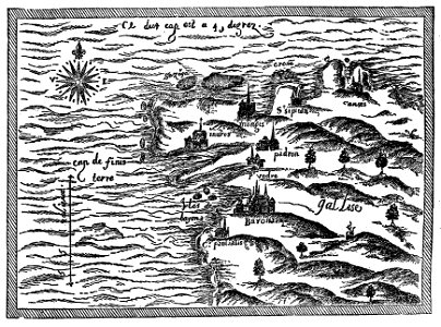
old maps of galicia (spain)
charts and maps of the royal museums greenwich
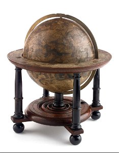
celestial globe
charts and maps of the royal museums greenwich
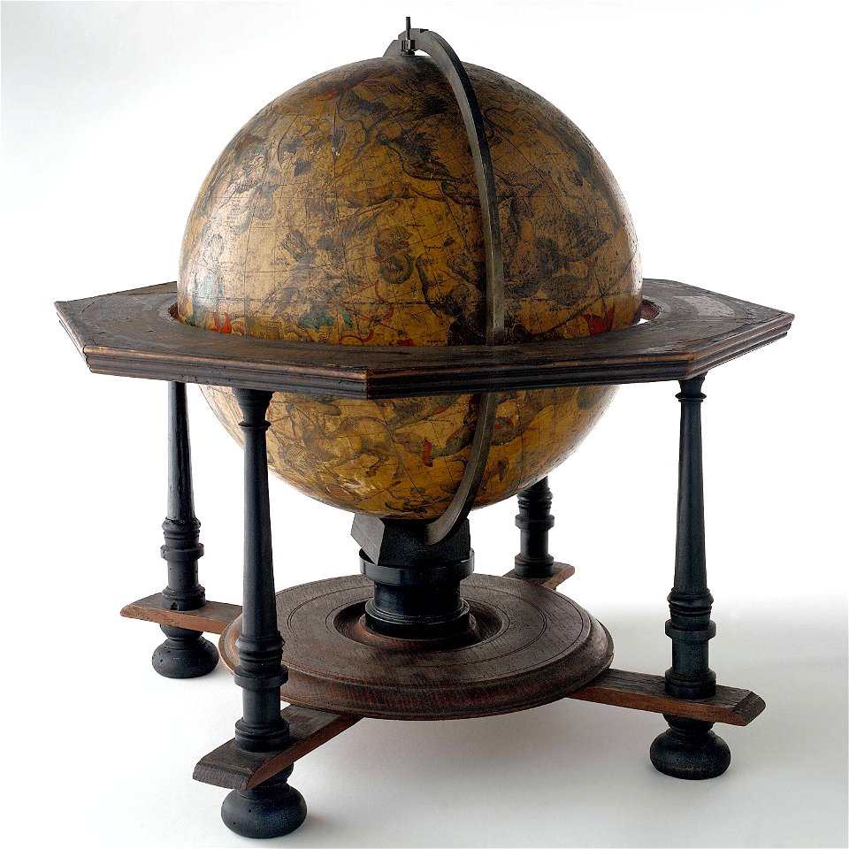
celestial globe
königstraße (berlin-wannsee)
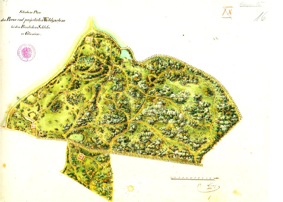
park klein-glienicke
geographical illustrations by coronelli
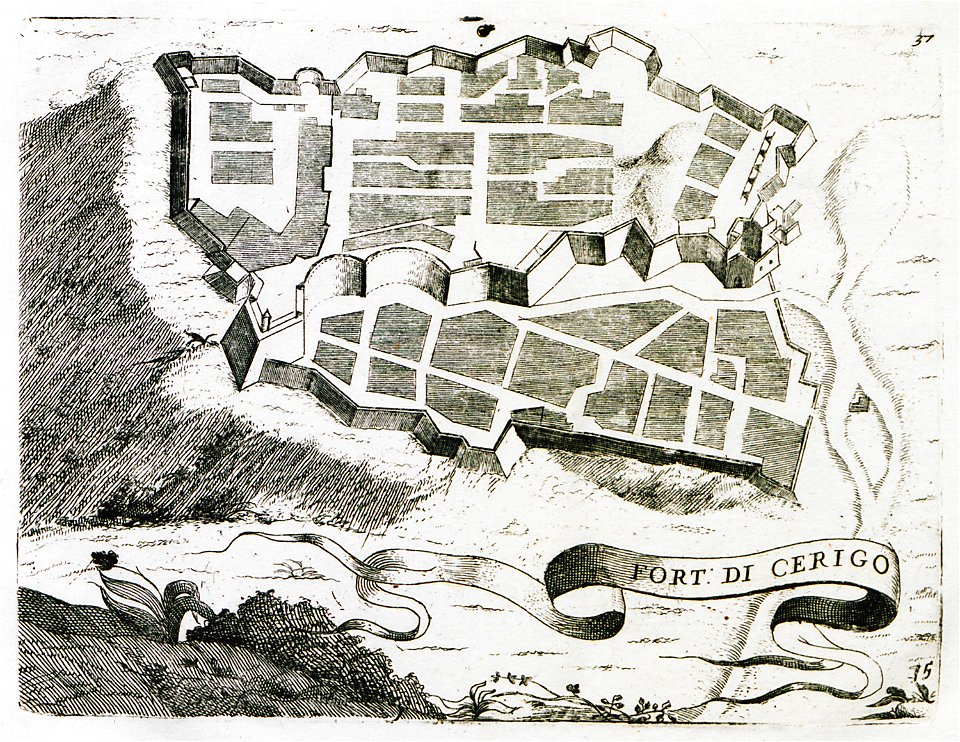
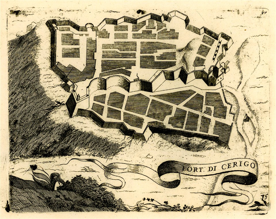
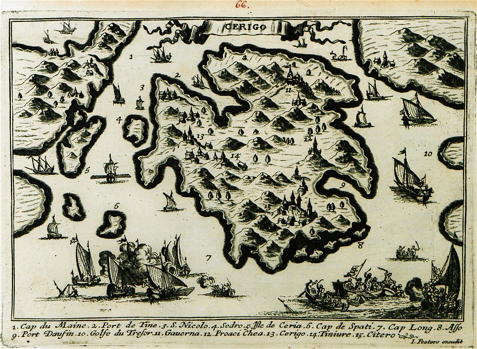
engravings of kythira
geographical illustrations by coronelli
engravings of kythira
geographical illustrations by coronelli
engravings of kythira
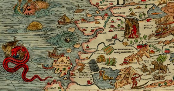
carta marina (details)
sea serpent
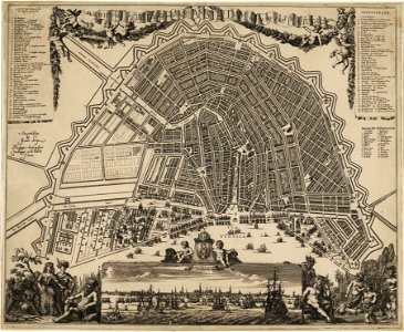
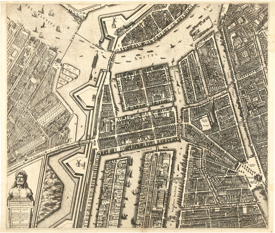
amsterdam in the 1680s
johannes kip
charts and maps of the royal museums greenwich
joan martines
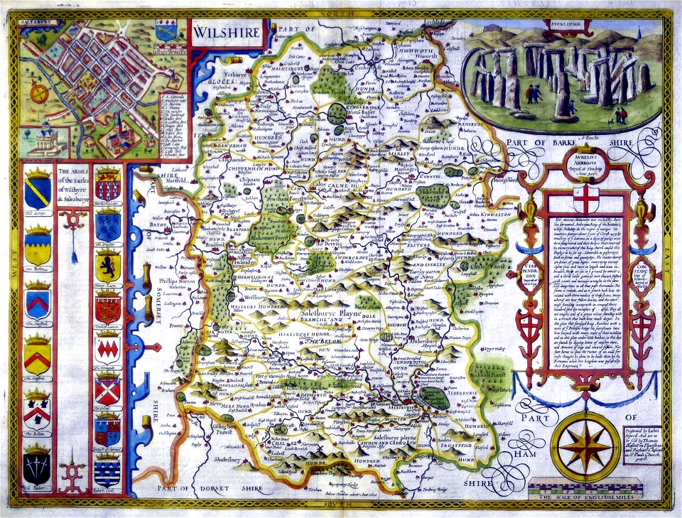
county maps of england by john speed
history of wiltshire
geographical illustrations by coronelli
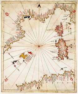
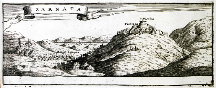
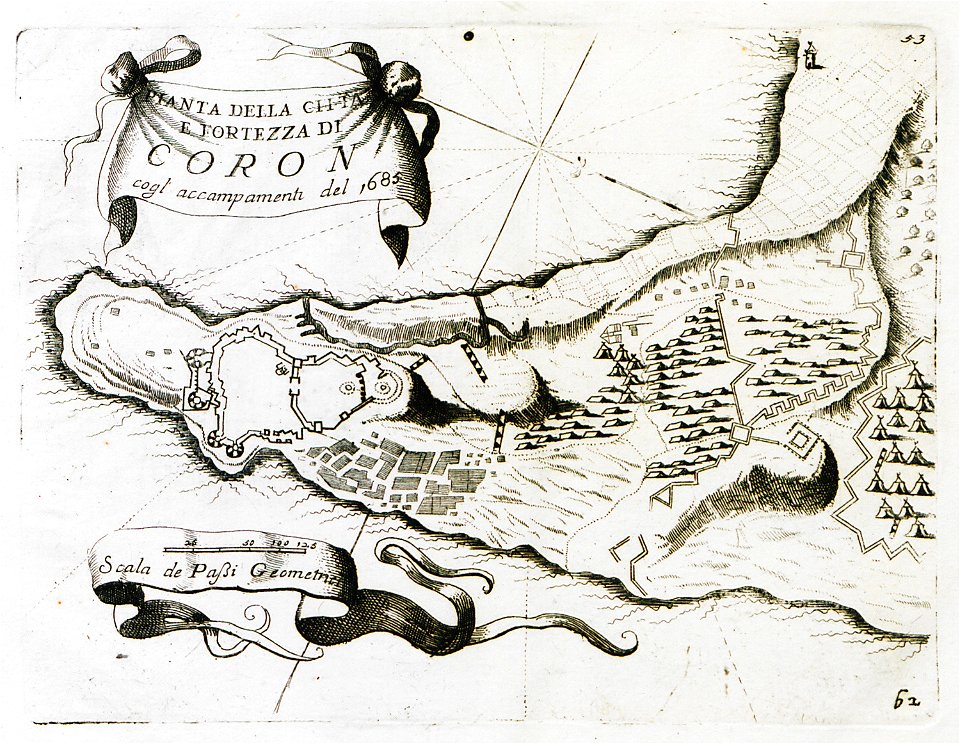
old maps of the peloponnese
maps of the ore mountains
details of meilenblätter
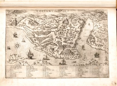
old maps of constantinople
braun & hogenberg
geographical illustrations by coronelli
koroni
geographical illustrations by coronelli
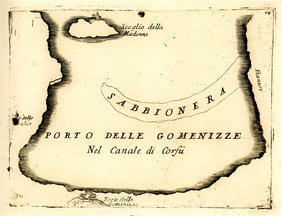
engravings of igoumenitsa
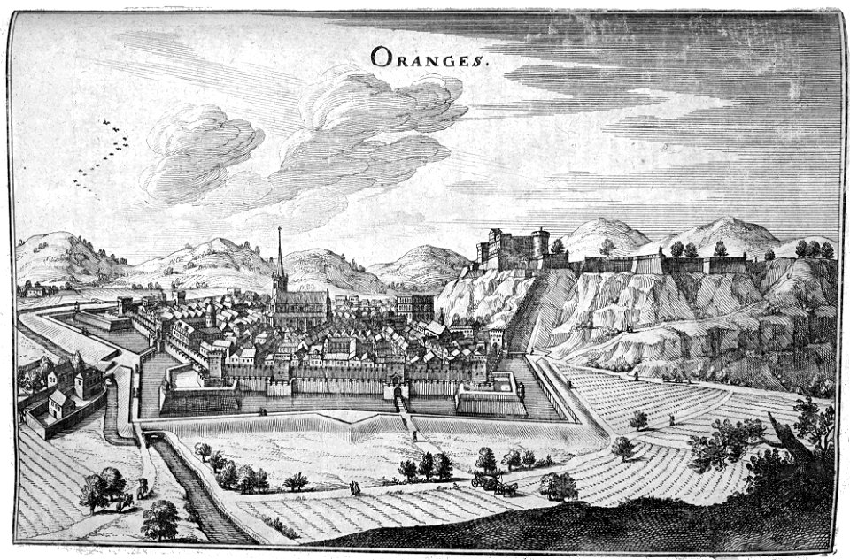
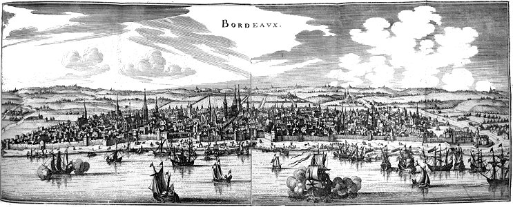
description des principales villes (1690)
old maps of rhodes (city)
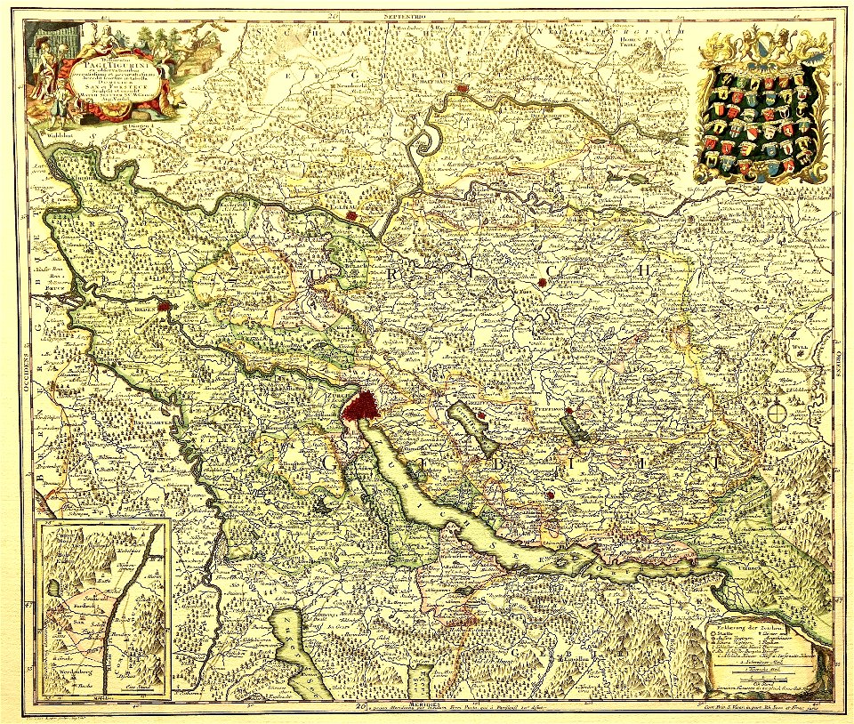
delineatio pagi tigurini by matthäus seutter
old maps of switzerland
maps by george h. walker and company
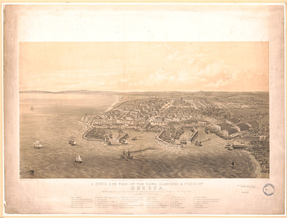
history of odessa
il devotissimo viaggio di gerusalemme fatto
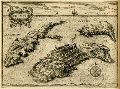
maps of isole tremiti
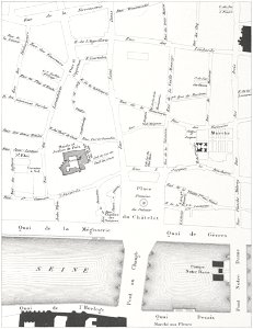
historical images of pont au change
lithographs of paris
paris in the 17th century
claude chastillon
massachusetts
eastham
maps made in the 17th century
gerard valck
battles and leaders of the civil war (1887)
battle of ball's bluff
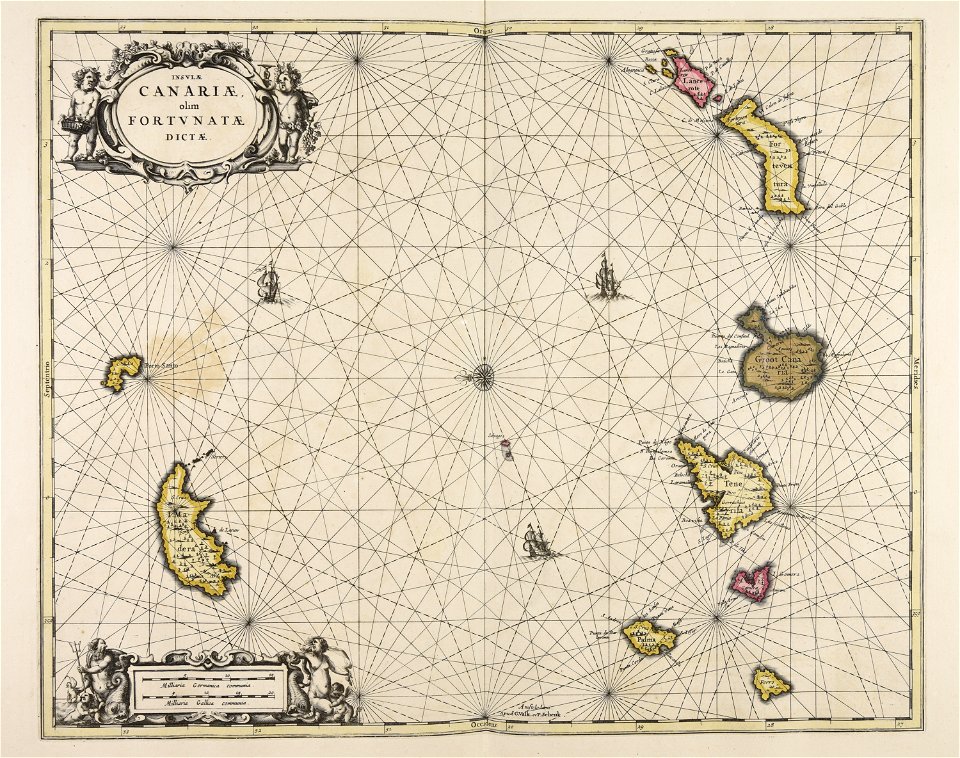
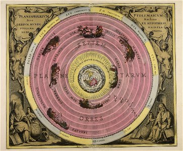
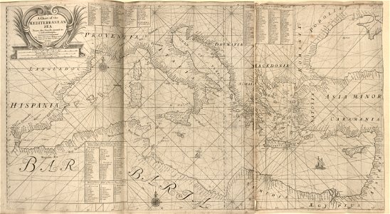
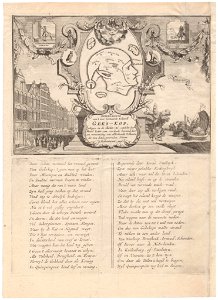
maps made in the 17th century
gerard valck
maps made in the 17th century
gerard valck
maps made in the 17th century
gerard valck
maps by willem and johannes blaeu
old maps of groenlo
maps made in the 18th century
gerard valck
maps from the mechanical curator collection
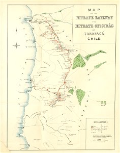
saltpeter works of chile
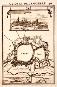
city walls of arras
history of arras
maps made in the 18th century
gerard valck
maps made in the 18th century
gerard valck
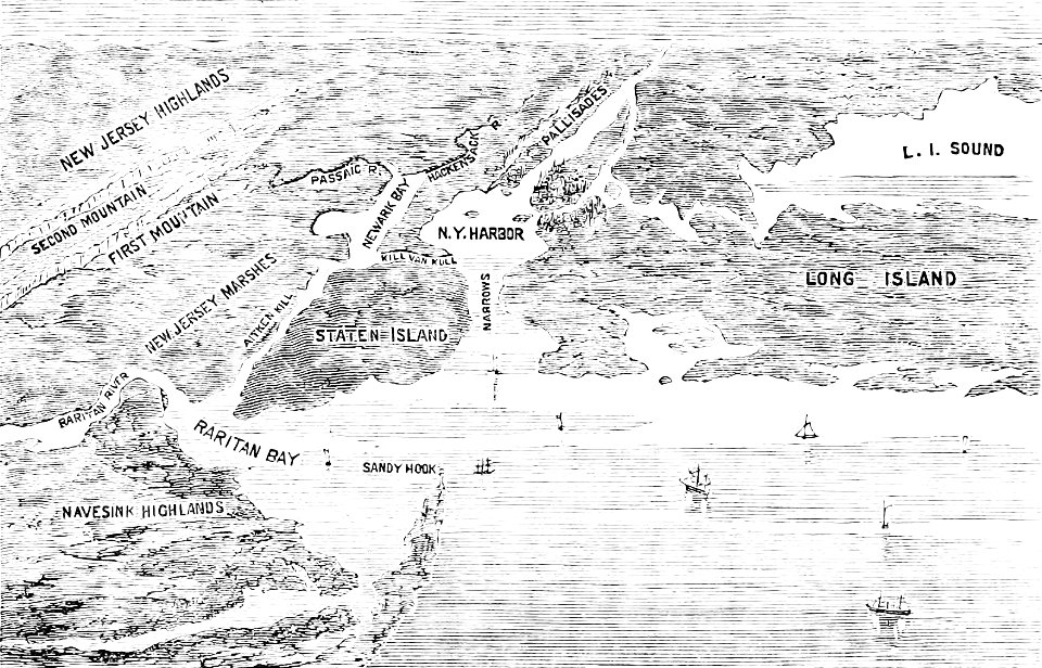
old maps of new york (state)
the palisades (hudson river)
gerard valck
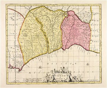
angola
1912 in rail transport in germany
enzyklopädie des eisenbahnwesens
maps made in the 18th century
gerard valck
maps made in the 18th century
gerard valck
cornelis danckerts (i)
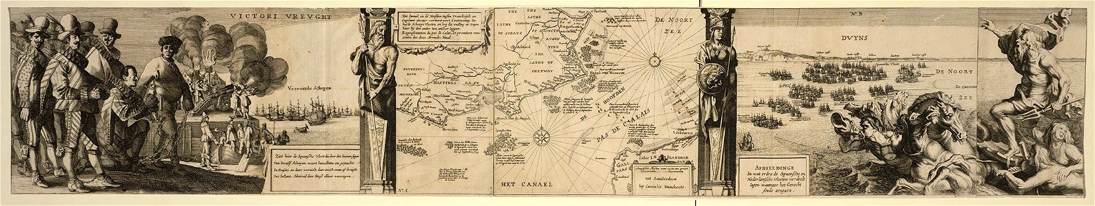
battle of the downs
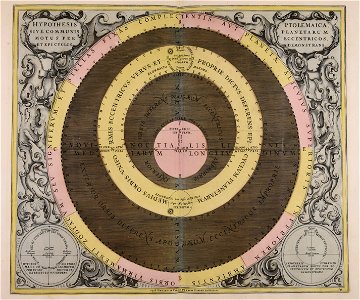
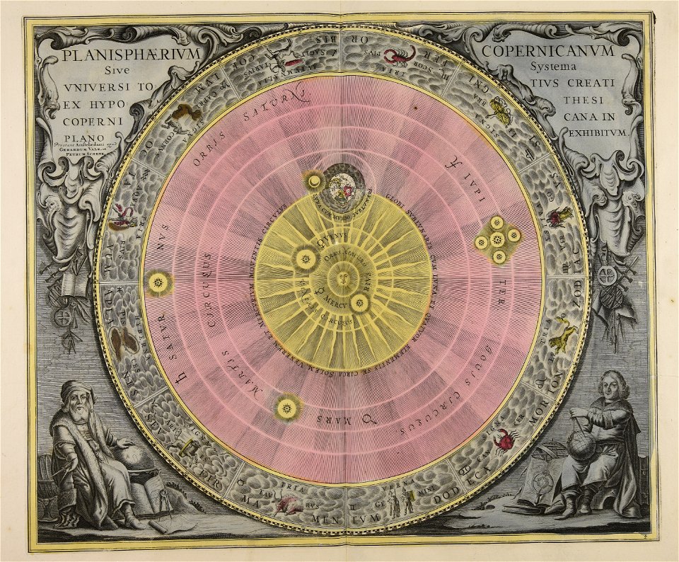
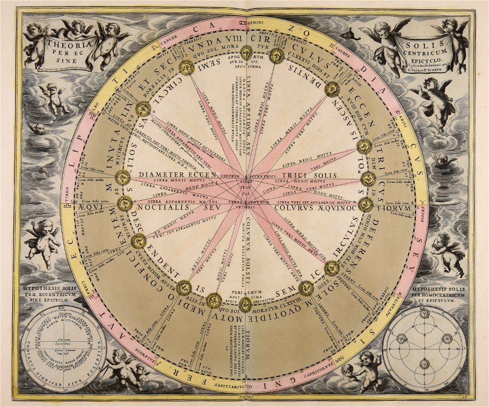
sistema solar
gerard valck
maps made in the 17th century
gerard valck
maps in the library of congress
ships on maps
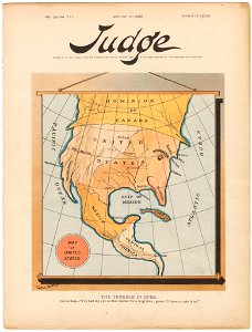
judge
1895
color engravings
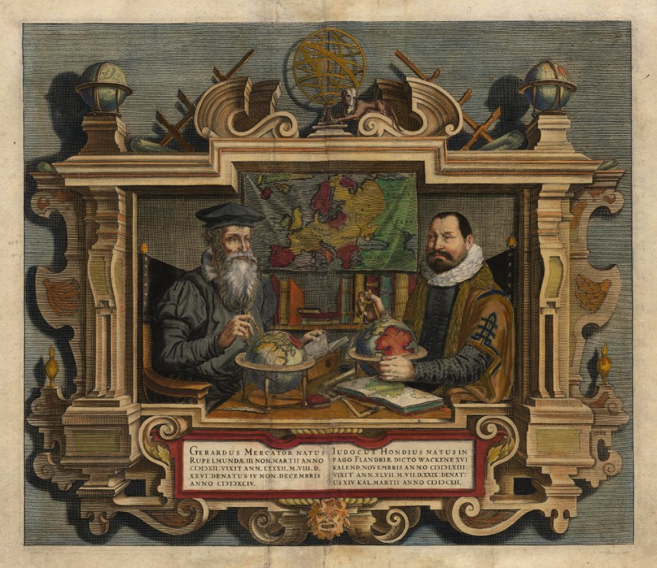
jodocus hondius
river
roads
caricatures of wilhelm ii of germany
19th-century maps of europe
diego gutiérrez
renaissance
history of antwerp
renaissance
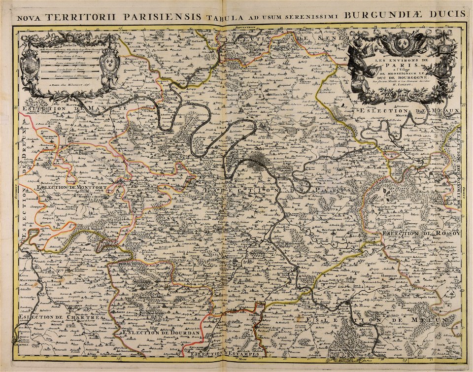
maps made in the 18th century
gerard valck
oudeschans
amsterdam
flemish 16th-century prints in the rijksmuseum amsterdam
maps of antwerp city walls
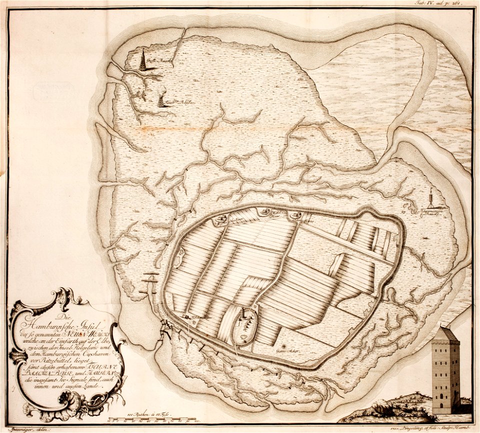
thomas albrecht pingeling
old maps of neuwerk
maps made in the 17th century
gerard valck
maps of battles of the netherlands
hugh mackay (general)
maps made in the 17th century
nicolaes visscher ii
maps made in the 18th century
gerard valck
cornell university library
pictorial maps
maps made in the 18th century
gerard valck
old maps of salzburg (state)
johann baptist homann
atlantis magni tomus quartus (biblioteca comunale di trento)
maps made in the 17th century
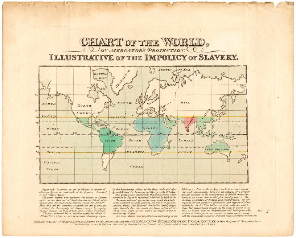
cornell university library
abolitionism
charts and maps of the royal museums greenwich
lucas janszoon waghenaer
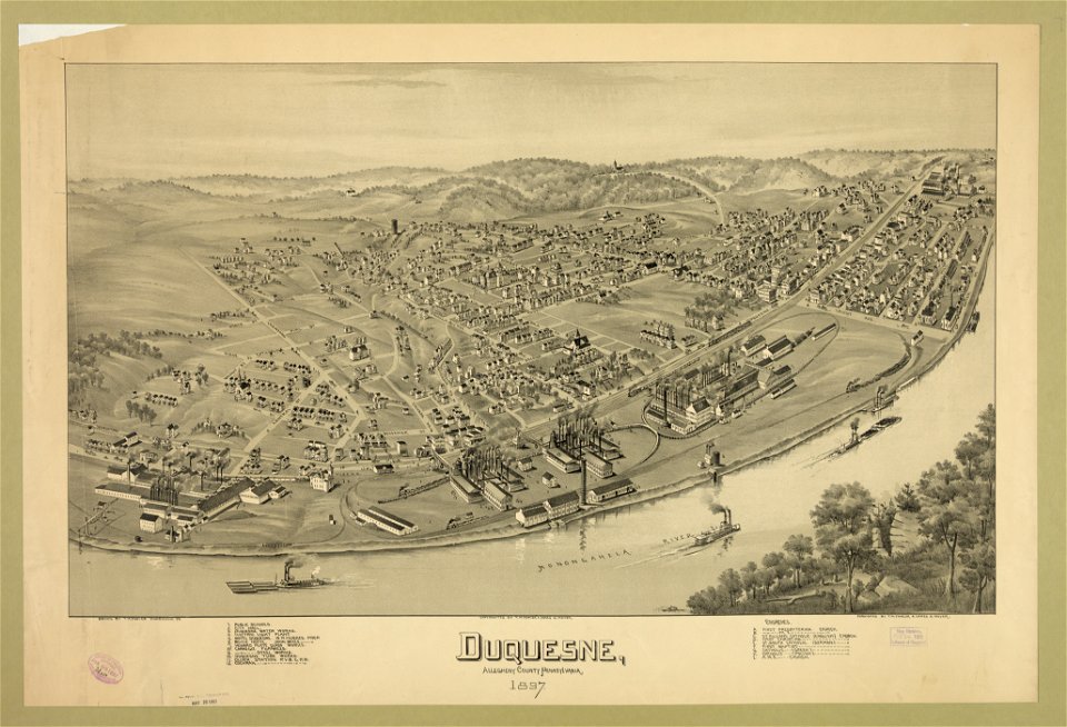
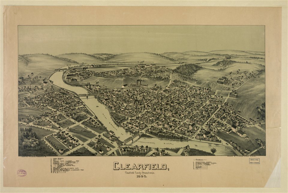
pennsylvania
duquesne
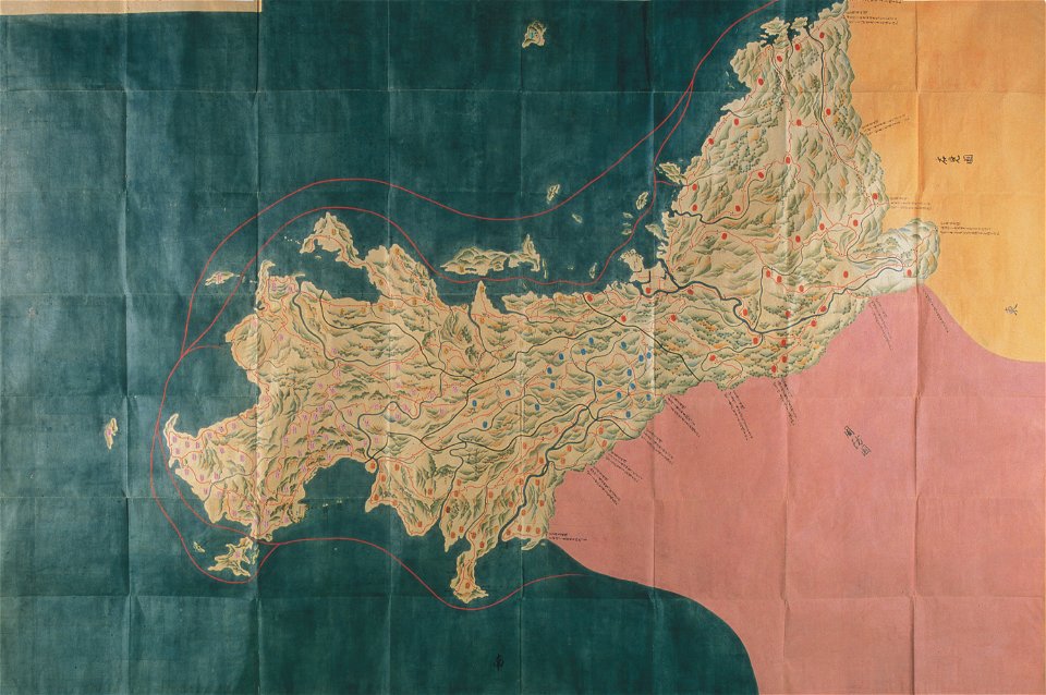
nagato province
genroku kuniezu
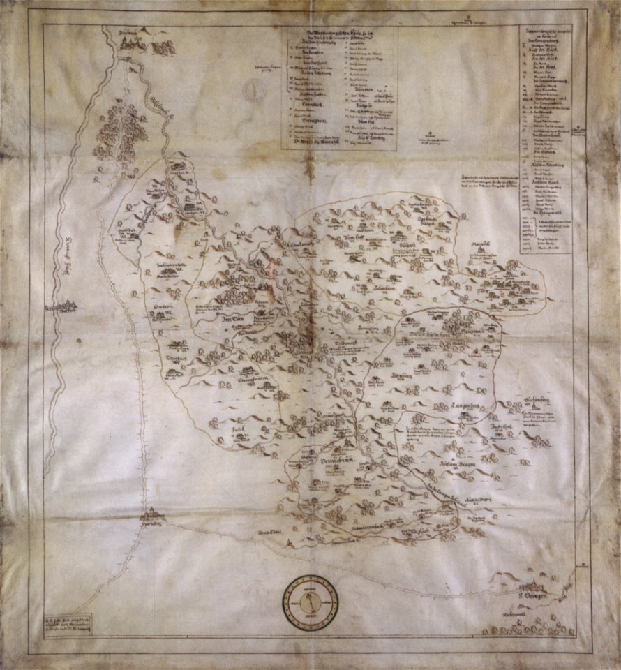
collections of hauptstaatsarchiv stuttgart
1584 maps
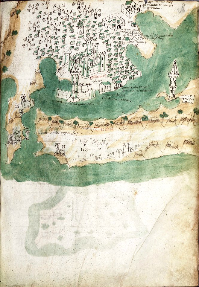
liber insularum archipelagi (royal museums greenwich)
gelibolu
asia and africa
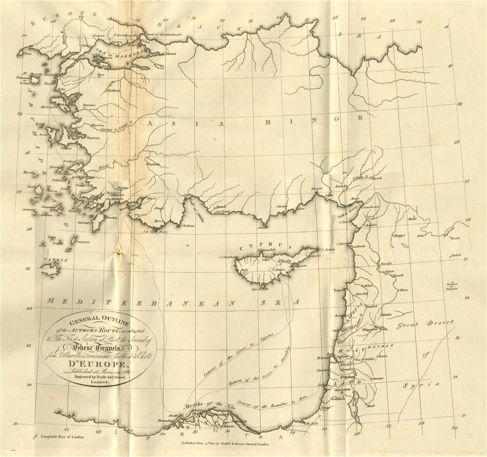
1813 maps
old maps of the americas
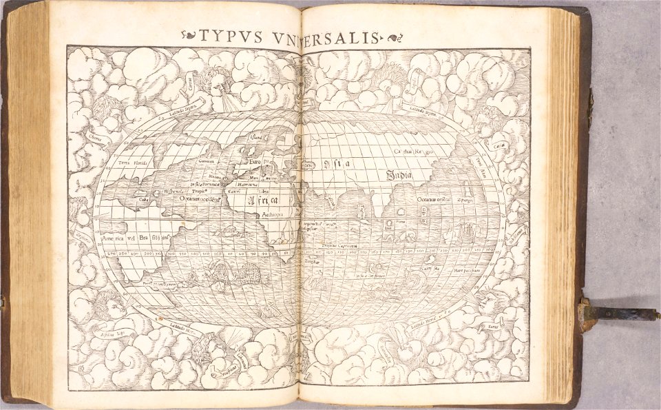
1552
1550s maps of the world
1552
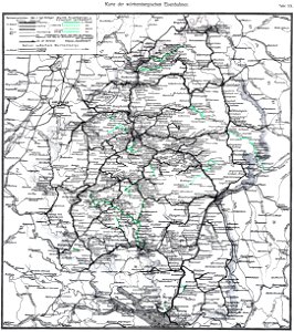
old maps of baden-württemberg
1552
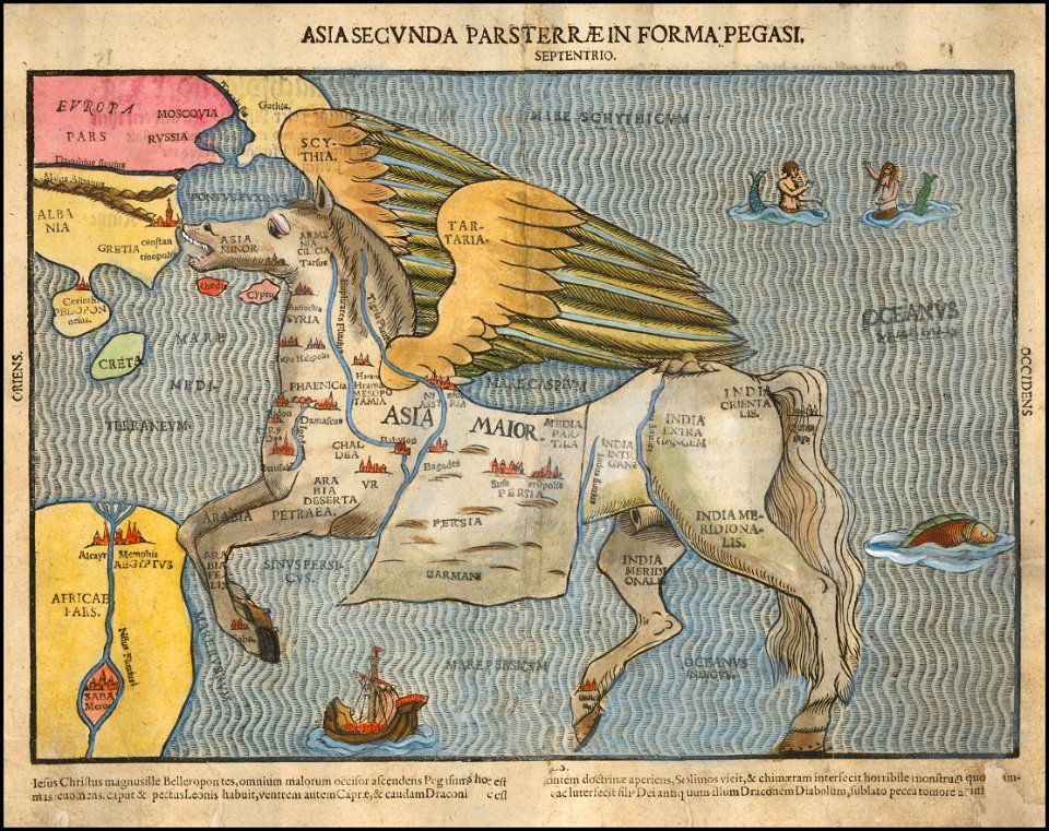
asia secunda pars terrae in forma pegasir
1580s maps of asia
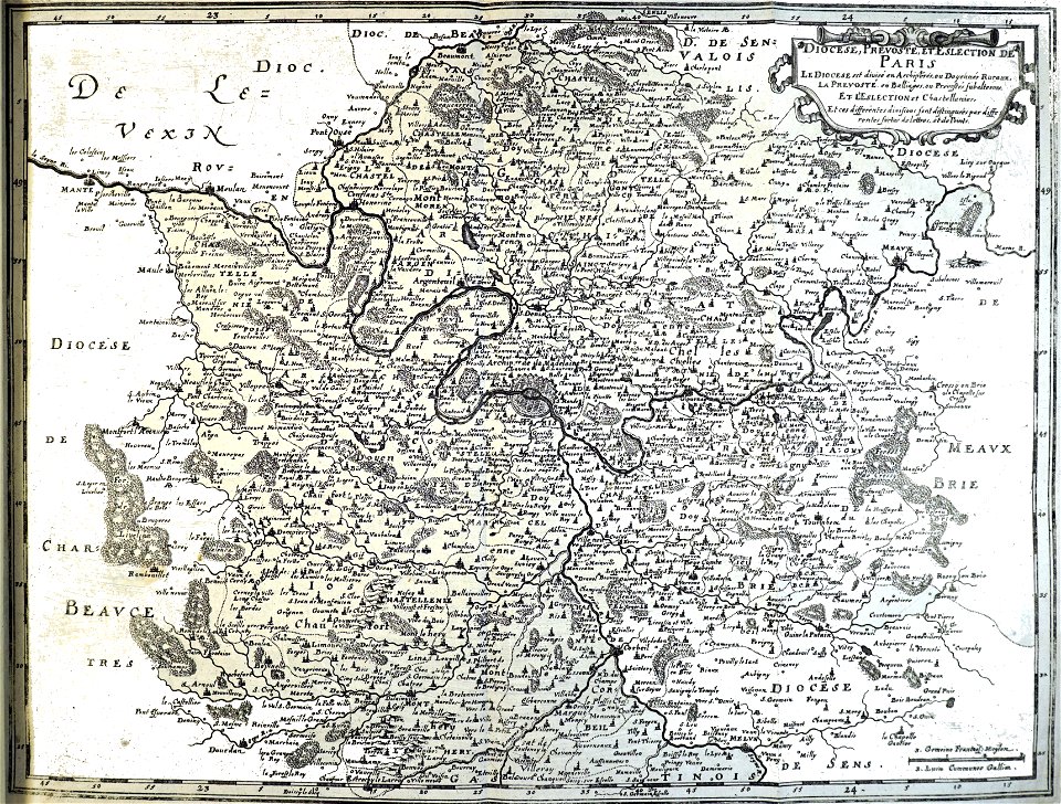
bibliothèque municipale de reims
rès. g 153
pennsylvania
clearfield
old maps of münster (westfalen)
caspar merian
bibliothèque municipale de reims
rès. g 152
maps by gerardus mercator
mercator celestial globe
description des principales villes (1690)
engravings of kythira
bibliothèque municipale de reims
rès. g 153
19th-century maps of bavaria
nördlinger ries
old maps of lake constance
reichenau island
de wikisource book leaflet
de nordseeküste (karten)
de wikisource book leaflet
de nordseeküste (karten)
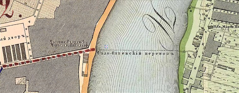
krasnogvardeysky district of saint petersburg
maps made in the 19th century
7601 - 7700 of 33,112
Next page
/ 332